Allagash Wilderness Waterway Video Series: Long Lake Dam Approach- UNCUT& UNEDITED!

This is the 4th video in the Allagash Wilderness Waterway series documenting our trip to the Allagash in August 2016.  This video is completely uncut & unedited, from Day 3 of our trip where we paddle the Northern section of Long Lake to the shore just before the VERY dangerous Long Lake Dam. Background information about …

Read more

Allagash Wilderness Waterway Video Series: Allagash Stream- UNCUT& UNEDITED!

This is the 3rd video in the Allagash Wilderness Waterway series documenting our trip to the Allagash in August 2016.  This video is completely uncut & unedited, from Day 1 of our trip starting out on Allagash Stream. Background information about the context of this video: This video is from the first day of our …

Read more

Video highlights from our Allagash Wilderness Waterway trip!

Join Henry & Angela on their 5 day, 98.5 mile canoe trip along the Allagash Wilderness Waterway. This video immerses you in the full adventure- class I & II whitewater rapids, paddling down bony rivers, Little Allagash & Allagash Falls, fighting treacherous conditions on open lakes, stopping over at Churchill Dam, running Chase Rapids, under …

Read more

What Chase Rapids look like on the Allagash Wilderness Waterway

Come take a canoe ride with us (Henry & Angela) down the almost continuous 9 miles of rapids below Churchill Dam in the Northern Maine Woods known as Chase Rapids. Watch us negotiate class I and II rapids in a 14′ Old Town Guide canoe, get splashed, crash head on into rocks and bump-tap rocks …

Read more

Maine’s best remote and challenging backpacking and hiking trails

Reaching the summit of Katahdin. Photo credit Coryn Wolk.
Climbing Mount Katahdin.
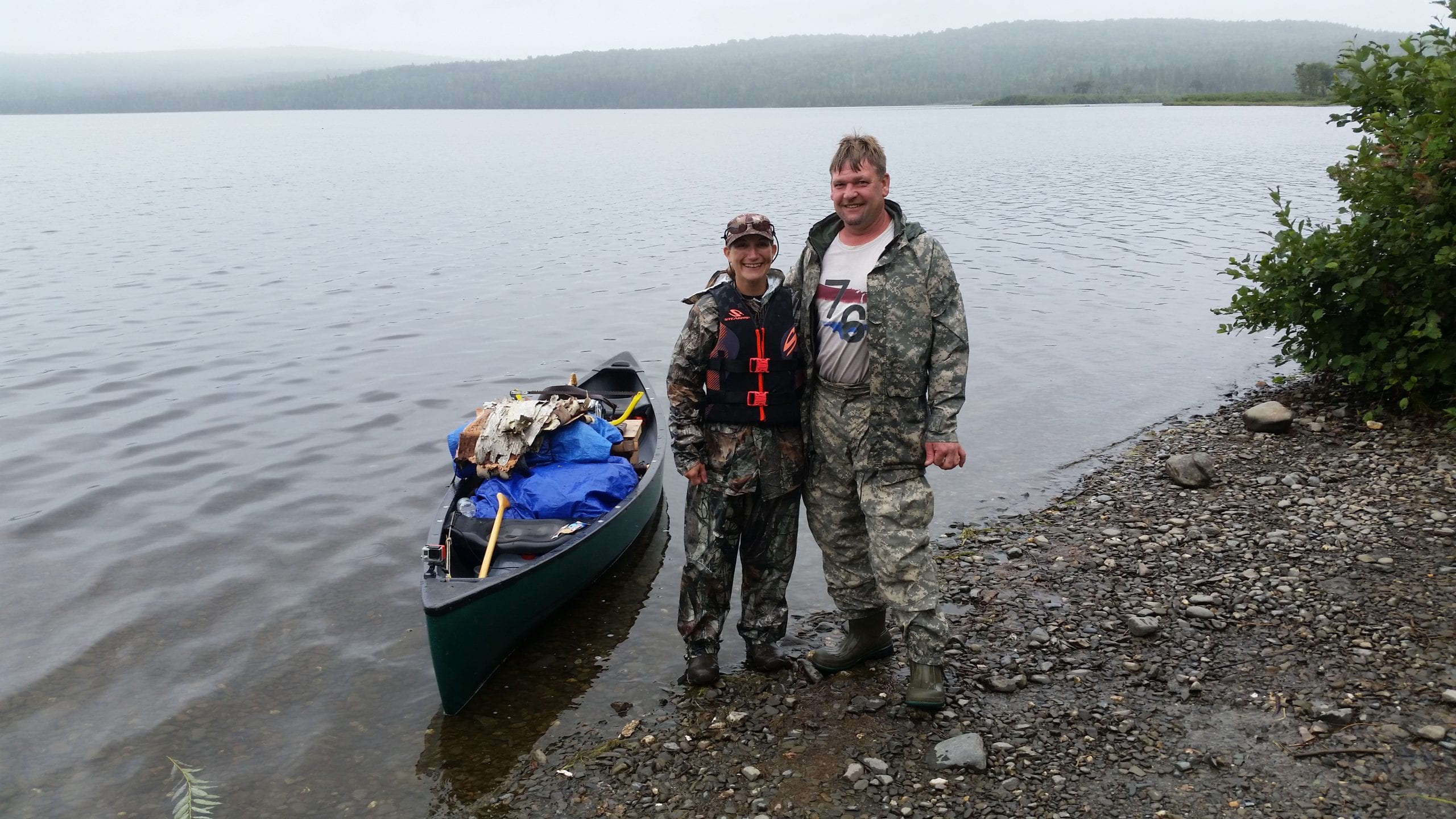
Photo credit: Coryn Wolk.

If you love peace and quiet, remarkable natural beauty, wildlife sightings and adding miles to your hiking boots, this list is for you!  Here are six of the most rugged, challenging places for backpacking and hiking in the state of Maine.

Deboullie Public Lands – Located in Aroostook County offering 21,871 acres of backcountry hiking, fishing, low mountains, clear ponds, remote and water-accessed campsites.  Over 22 miles of hiking trails.
Brochure | Map

Nahmakanta Public Lands – Located in Piscataquis County offering 43,000 acres of lakes, ledges and deep forests including six water-accessible campsites and several hike-to campsites.  Very extensive network of hiking trails including a section of The Appalachian Trail.
Brochure | Map

Bigelow Preserve – Located in Somerset and Franklin Counties offering over 36,000 acres including the whole seven-summit Bigelow Range.  The Appalachian Trail goes through this preserve and there are many side trails that can be hiked as well.
Map

Read more