 Mount Katahdin Facts
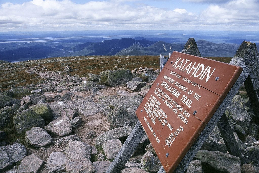
Elevation: 5,268 feet (1,606 meters)
Prominence: 4,288 feet (1,307 meters)
Location: Baxter State Park, Millinocket, Maine
Range: Baxter State Park
Coordinates: 45°54’16” North 68°55’17” West
Rating: Epic
Features: Peak bag, panoramic views, Ranger Station, Roaring Brook, start/end of Appalachian Trail, loop hike
Distance: 11.1 miles on Knife Edge Trail
Baxter State Park Road Map – Map of roads in Baxter State Park.
Katahdin SFMA (Scientific Forest Management Area) Recreation Features Map – Includes streams, hiking trails and roads with name labels.
Mount Katahdin Trailhead Maps:
- Trailheads Base Map
- Trout Brook Farm
- South Branch Pond
- Katahdin Lake
- Roaring Brook
- Abol Trail
- Kidney and Daicey Pond Area
Baxter State Park – Information about Baxter State Park including additional maps, recreation opportunities, geological features and resources.
Baxter State Park Authority – Official website for Baxter State Park with hiking tips, trail information, camping reservations, fees and weather information.
Mt. Katahdin Hiking Information – Practical information and photos provided by Brian Jenkins including when to climb and where to stay.