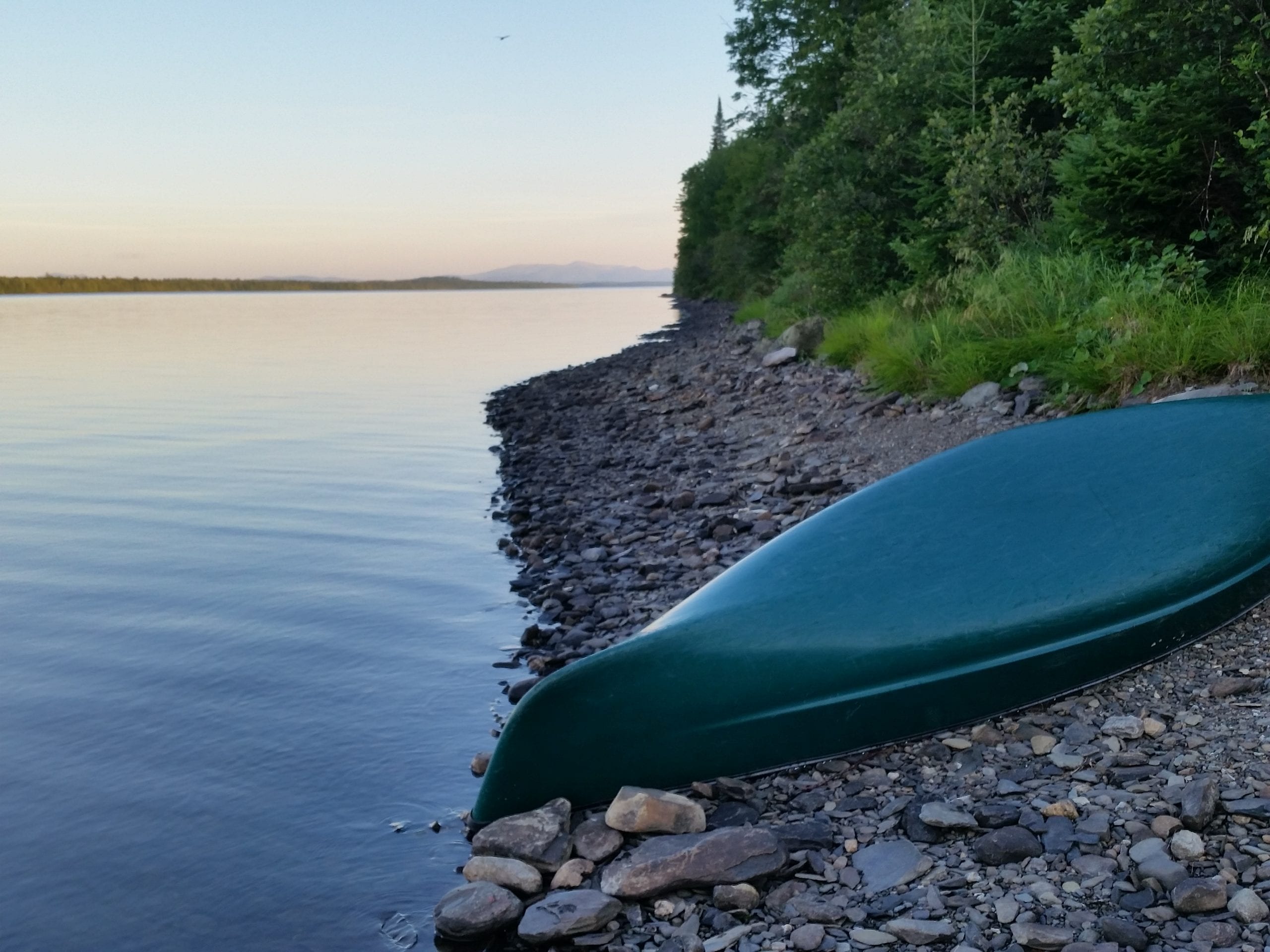
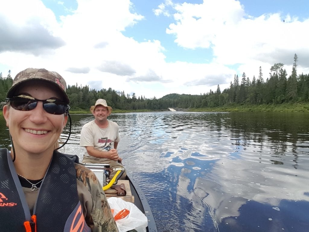
The Allagash Wilderness Waterway (AWW) was established in 1966 to protect a system of lakes and rivers that stretch 92 miles in the Northern Maine forest. The waterway system was originally used by Native Americans as early as 10,000 years ago and later by the logging industry in the 1830’s. This water trail is an incredible adventure and well worth a spot on your bucket list if you love paddling. The remote beauty is breathtaking and wildlife surrounds you. Bald eagles serve as the guardians of the waterway, perched frequently high in trees overlooking the water and watching paddlers go by. Remnants of the waterway’s logging past are preserved along the shore and fun to discover. The abandoned locomotives are at the beginning of the trail. It’s fun to meet the occasional strangers, and definitely worth talking to the Rangers of the AWW along the way.
Contact Information
Northern Region Headquarters
106 Hogan Road
Bangor, ME 04401
(207) 941-4014
Lat 46.170889 / Lon -69.208944 at Chamberlain Bridge
Outdoor Opportunities
Camping, Canoeing & Kayaking, Fishing, Hunting, Snowmobiling, Wildlife Watching, Boating
 Canoe Trail Facts
Established: 1966
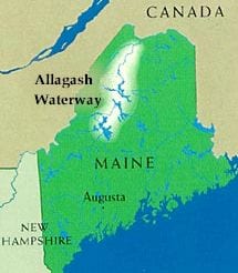
Location: Starts at Chamberlain Bridge (Lat 46.170889 / Lon -69.208944) and ends in the town of Allagash
Length: 92 miles
Duration: 7 – 10 days depending on ability & conditions
Difficulty: moderate (class II rapids)
Water flow: south to north
Features: 8 lakes, 4 ponds, 2 rivers, 1 waterfall
Rivers: Allagash River, St. John River
Resources
Allagash Wilderness Waterway – Website of the Maine Bureau of Parks and Lands highlighting AWW conditions, alerts, rules, videos, campsites, fees, history and more.
USGS National Water Information System: Allagash River – Current conditions for Allagash River including historical cfs data.
 Maps
Maps
- 2016 Allagash Wilderness Waterway – A detailed map and brochure from the Northern Region, Bureau of Parks and Lands, including campsite locations, ranger stations, hiking trails, roads, rapids and bridges.
- Allagash Wilderness Waterway – An updated color brochure and a less detailed map including campsites, boat access points, historical sites, and history (printed between 2003-2011).
Videos
Here is a video overview of our trip to the Allagash Wilderness Waterway from August 11-15, 2016. The video shows many different streams, ponds, lakes and rivers you will encounter throughout this epic journey.
Here is a video of segments of Chase Rapids, one of the most exciting parts of the Allagash Wilderness Waterway with class I and II rapids.