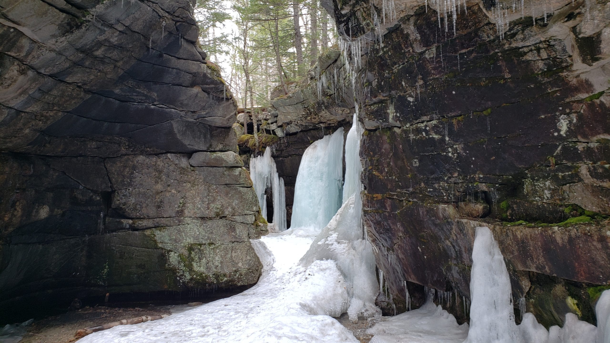
ATVs are a great way to see a lot of Maine’s backcountry. From scenic mountain vistas and waterfalls to historical landmarks, Maine’s ATV trails can take you there! Some attractions may require parking and hiking to see. If it’s listed here it’s worth it! All map pages referenced are in the Maine ATV & Dirt Bike Trail Atlas. The blackflies are out, so make sure you bring plenty of bug spray!!
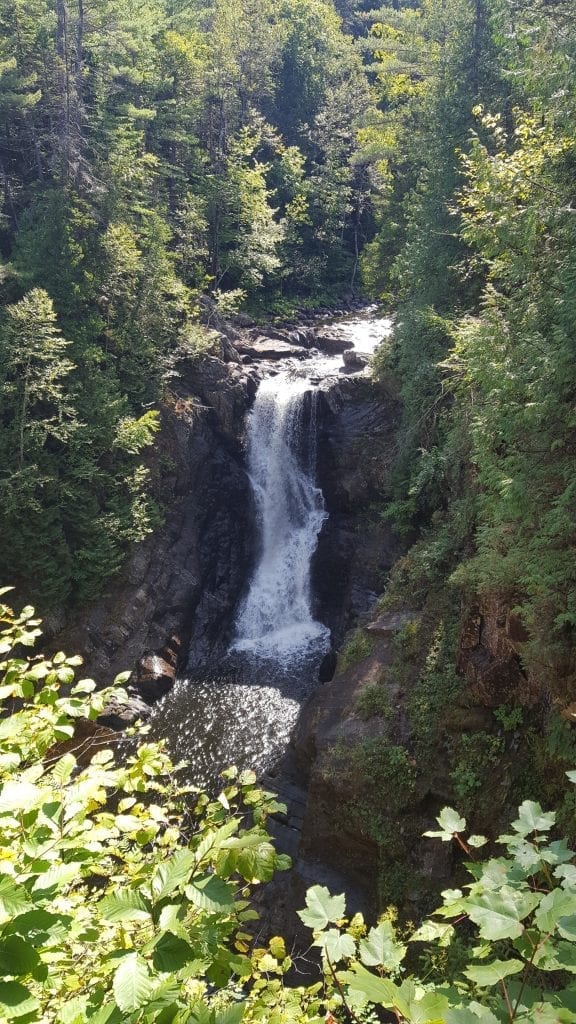
Moxie Falls– The Forks, Map 18
Plunging 90 feet into a massive gorge Moxie Falls is one of Maine’s tallest waterfalls. The hike in to see Moxie is very easy and takes around 15 minutes. You can take in the view of the falls from a nice platform that sits right at the edge of the gorge.
Moose Loop Trail– Rangeley Region, Map 17, 26, & 27
This incredibly scenic loop trail gives you over 138 miles of ATV trails and goes through 9 different towns. This makes multi-day trips possible with plenty of food and fuel stops, plus accommodations. Dirt bikes and side by sides over 60″ are not allowed on the Moose Loop.
Multi-Use Rail Trails (Abandoned Railroad Beds)
Maine has converted 11 former railroad beds into incredible multi-use rail trails that ATVs can use. These rail trails are located from the very top of the state to the bottom and many places in between. One of the best known is the Down East Sunrise Trail which spans 85 miles from Ellsworth to Ayers Junction. Up north, three major rail trails are connected for a combined 125+ mile trail system. These are the Aroostook Valley Trail, Bangor & Aroostook Trail, and Southern Bangor & Aroostook Trail. Maine’s 11 rail trails open to ATVs are:
- Aroostook Valley Trail, Map 5
- Bangor & Aroostook Trail, Map 3-5
- Four Seasons Adventure Trail, Map 20 & 29
- Down East Sunrise Trail, Map 33, 39-41
- Kennebec Valley Trail, Map 27
- Lagrange to Medford Trail, Map 21, 30
- Saint John Valley Heritage Rail Trail, Map 1, 2
- Sanford-Springvale Trail, Map 47
- Sherman to Patten Trail, Map 8
- Southern Bangor & Aroostook Trail, Map 7, 9
- Whistle Stop Trail, Map 35
Attean Mountain– Jackman Region, Map 10
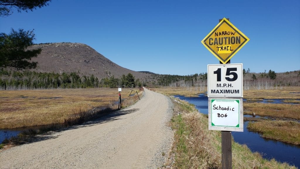
If you also enjoy paddling you’ll know this area because it’s where the Moose Loop and Bow Trip paddle routes are located. Attean Mountain sits just south of Jackman and the overlook offers views of the surrounding mountains and Attean Pond.
Quill Hill– Just North of Rangeley, Map 26
Quill Hill is a fantastic scenic lookout with views of the surrounding mountains. It is located on private land and the landowner only agrees to allow ATVs if they do not spin up the dirt, stay under 15mph, and yield to vehicle traffic. This is an incredible place to visit so please help us keep it open to the ATV community for years to come!
Devil’s Den & Silver Ripple Cascade– Andover, Map 34
This is the ultimate ATV stop! Located right off the ATV trail you’ll see Devil’s Den, a massive gorge that you can climb down into. A narrow strip of land separates Devil’s Den and Silver Ripple Cascade, a beautiful waterfall with a nice, deep pool at the bottom, perfect for swimming. The land in between also makes a nice spot to have lunch!
Mt Kineo Fire Tower– Greenville, Map 11
This is a park and hike, but well worth it. The summit of Mt Kineo has a fire tower which is open to the public, offering 360-degree views of the entire Moosehead Lake Region. There are two trails to reach the summit. One is a shorter but incredibly steep hike, the other is much longer, going around the mountain, but hurts less.
B52 Crash Site– Greenville, Map 12 & 20
In 1963 a USAF Stratofortress carrying nine crew members lost its stabilizer and crashed into Elephant Mountain. Seven of the men perished and two survived. The crash site serves as a memorial to those men and is an incredible sight to see. A plaque honoring the men is located at the site, as well as a massive field of debris, both small and large, even in the trees above.
Kezar Falls Gorge– Waterford, Map 42
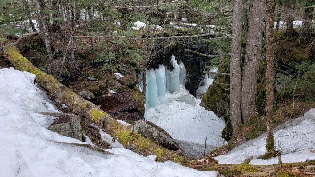
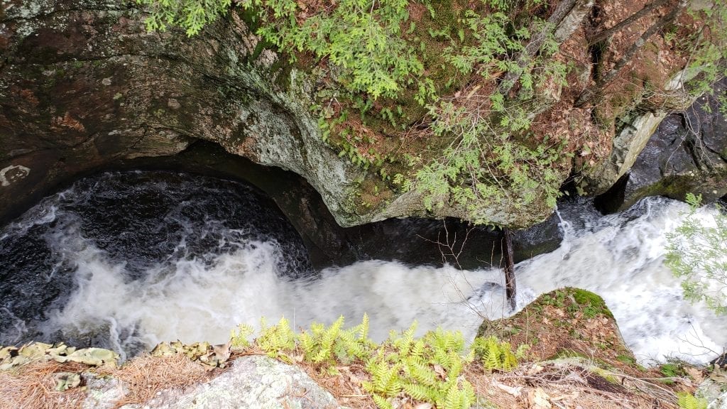
Kezar Falls Gorge is another amazing trailside stop. The waterfall is located just a stone-throw from the parking area. The deep gorge has a circular shape and a beautiful waterfall plunging into a pool below.
Over 30 Incredible Places to Visit
There are many other amazing stops including Coos Canyon, Smokey’s Dream Cable Bridge, Chase Hill Fire Tower, Greenwood Ice Cave, and countless waterfalls like Poplar Stream Falls, Houston Brook Falls, Grand Falls, Angel Falls, and more! Over 30 incredible places to visit are shown right on the Maine ATV & Dirt Bike Trail Atlas map pages. The atlas is available in laminated and paper print forms and is available for instant download.
Please Remember
A majority of Maine’s trails are located on private land. Please help us keep trails open by staying off posted land, don’t ride on closed trails, and always carry in/carry. We appreciate our landowners and want them to continue to let us use their lands for years to come!
