


2023-2024 Maine Snowmobile Trail Map Atlas- Wholesale
$30.99 – $44.99
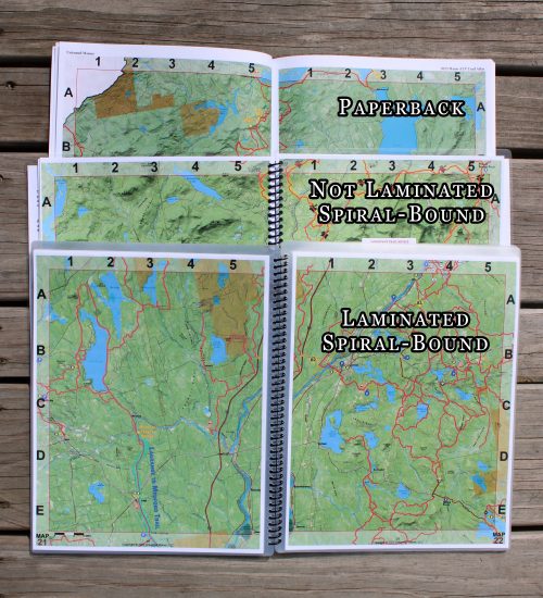
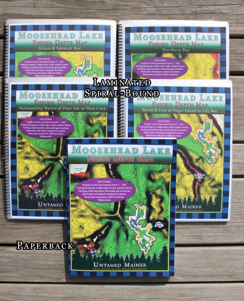
Laminated Retail Price: $59.99, Your Profit: $15.00
Paperback Retail Price: $45.99, Your Profit: $15.00
See the Description at the Bottom of the Page for more Details About the Book
Description
Ride where the adventure never ends!
Adventure is calling as a new snowmobile season arrives in snow country! The Maine 2023-2024 Snowmobile Trail Atlas includes over 14,000 miles of groomed and backcountry snowmobile trails created from over 100 individual maps to show the most up-to-date and accurate trails possible! Discover new routes, plan scenic day rides, and epic multi-day adventures with the 2023-2024 Maine Snowmobile Trail Atlas. Now, you can plan the adventure of a lifetime for you and your crew!
Unforgettable Rides and Experiences
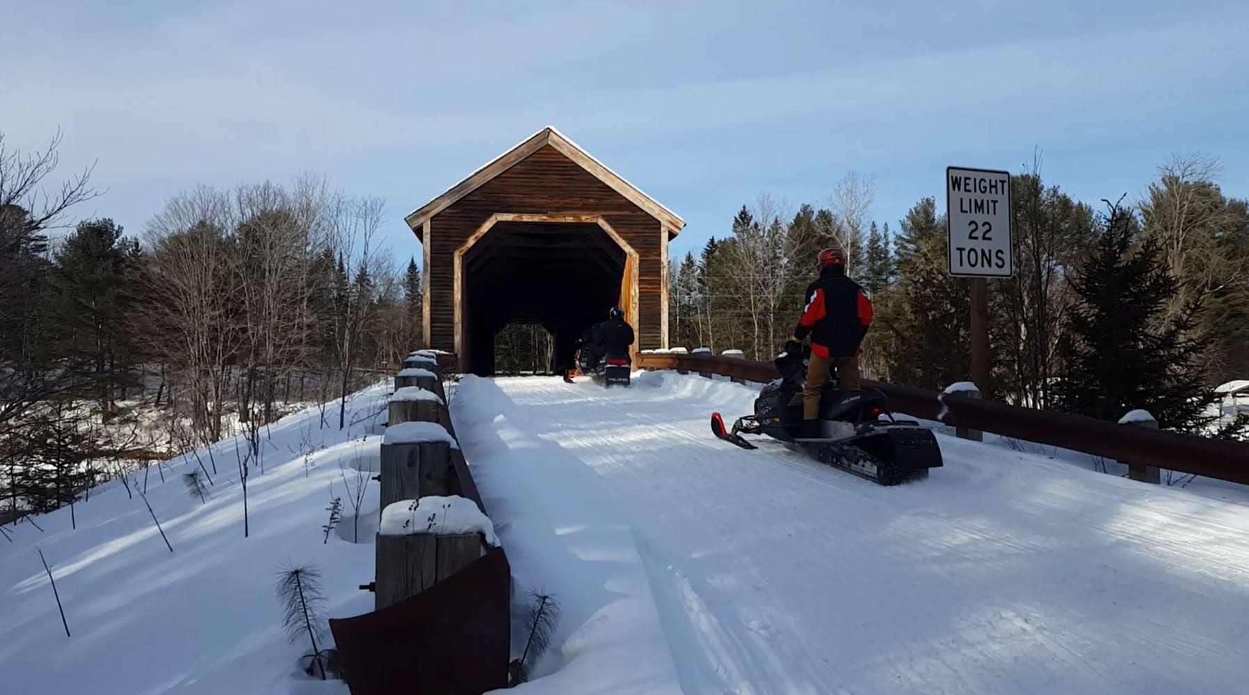
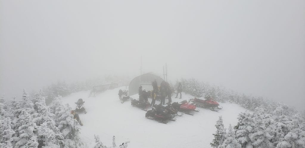
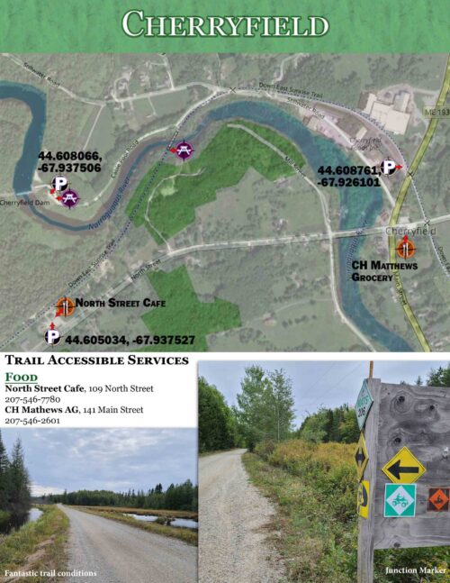
The map shows ITS trails, snowmobile club trails, and ungroomed trails where you can lay first tracks after a fresh snowfall! Also included on the map are scenic and awesome hot spots and side trips like the Abandoned Locomotives, B-52 Crash Site, and Coburn Mountain Summit (the highest elevation you can reach by snowmobile in Maine). Now, you can plan ahead to see scenic views and unique landmarks instead of discovering them out on the trail when you’re out of time! Maine’s three legendary loop trails, the Moose Loop, Katahdin Loop, and Black Fly Loop, are clearly marked on the map for those who enjoy touring scenic and dynamic terrain. The Winter 2023-2024 edition includes marked trailer parking locations and fuel stops!
2023-2024 Maine Snowmobile Trail Atlas Includes:
- ITS Primary Corridor Trails
- ITS Secondary Connector Trails
- Snowmobile Club Trails
- Ungroomed Trails
- Lake Crossing Trails
- Trail Route Numbers and Names
- More Detailed Maps
- Gas Stations
- Parking Locations
- Parts and Repair Locations
- Snowmobile Club Information
- Maine’s Legendary Loop Trails:
- Moose Loop
- Katahdin Loop Trail
- Black Fly Loop
- Hot Spots and Side Trips:
- Grand Falls
- Abandoned Locomotives
- Coburn Mountain (the highest elevation you can reach by snowmobile in Maine)
- Moxie Falls
- B-52 Crash Site
- Low’s Covered Bridge
- Scenic Overlooks
- Many more remote historic sites and natural landmarks!
- Terrain Features & Elevations
***PLEASE NOTE***
These maps are intended for trip planning purposes only and are not for navigation. Maine’s snowmobile trail routes can change daily due to weather conditions, logging operations, landowner requests, etc.
Always contact local snowmobile clubs for the most updated information on trail routes and closures.
Additional information
| Weight | 5 lbs |
|---|---|
| Dimensions | 8 × .5 × 12 in |
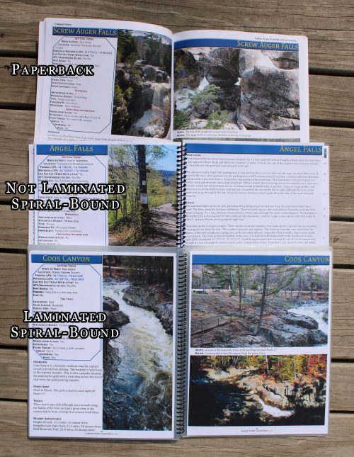
| Book Type | Laminated, Paperback |
Related products
-
 Sale!
Sale!

2024 Maine ATV Trail Map Atlas- Wholesale
$30.99 – $44.99 Select options -
 Sale!
Sale!

Adventure Guide to Maine’s Down East Sunrise Trail- Wholesale
$24.99 – $34.99 Select options -
 Sale!
Sale!

Explore 20 Epic Waterfalls of Western Maine- Wholesale
$24.99 – $34.99 Select options -
 Sale!
Sale!
Moosehead Lake Depth Maps- Wholesale
$49.99 – $54.99 Select options