Maine’s newest adventure
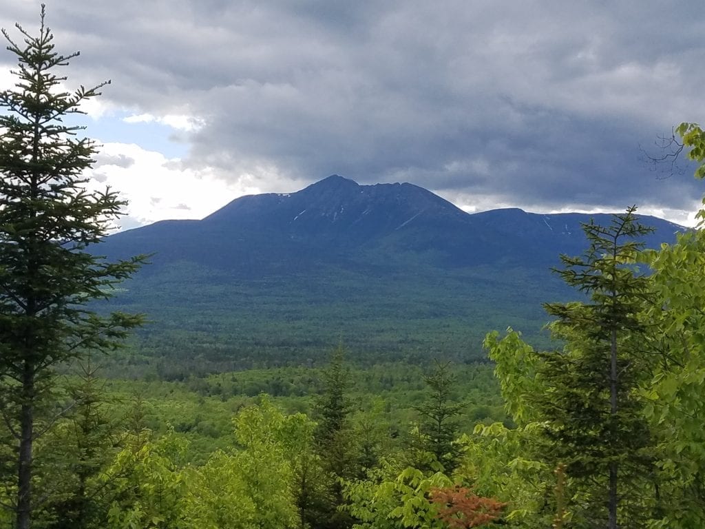
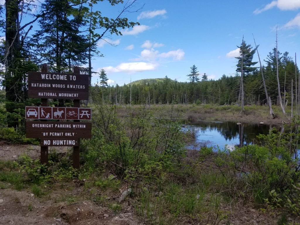
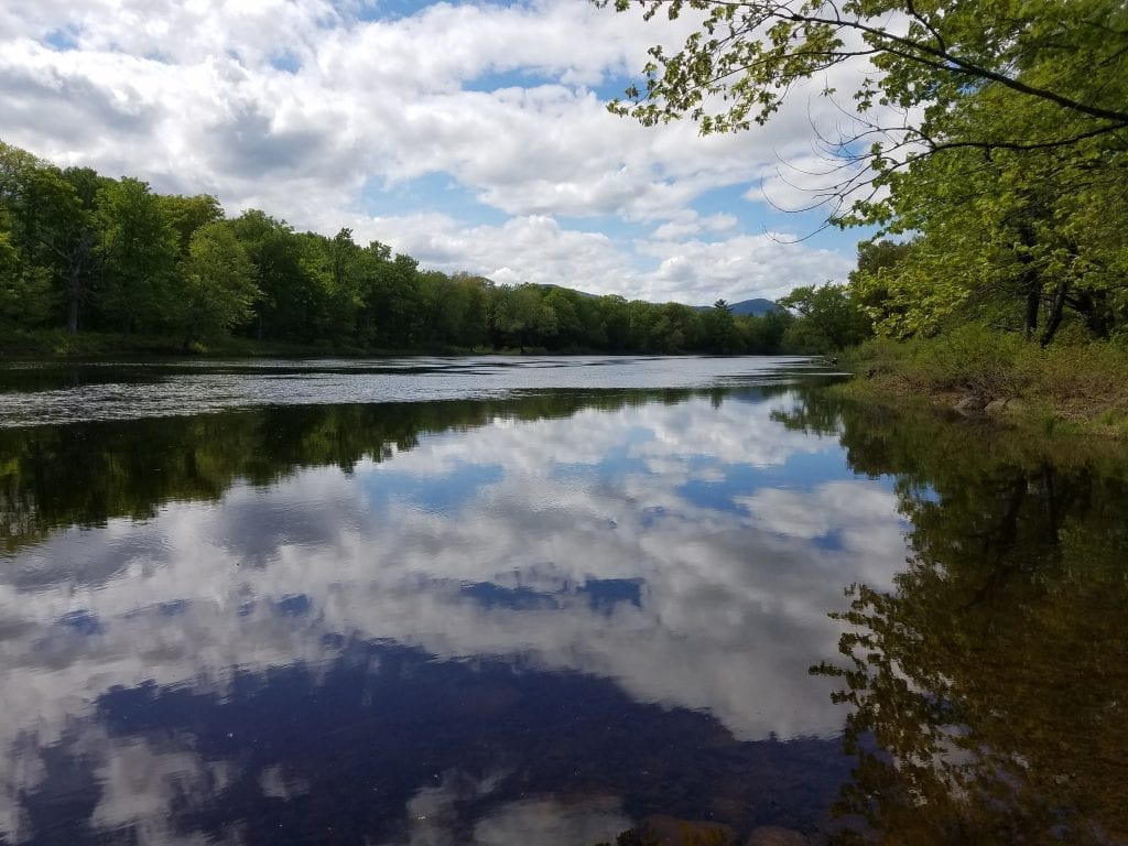
Katahdin Woods and Waters National Monument is located right next door to Baxter State Park. The Monument consists of five separate parcels of land that offer different outdoor recreation opportunities. The largest parcel lies between Baxter State Park and the East Branch Penobscot River. This parcel includes the 15 mile Katahdin Loop Road which offers scenic views of Mt. Katahdin. The International Appalachian Trail passes through a majority of this section of the park. Four smaller parcels of land are located to the east of the river and allow additional outdoor activities including hunting and snowmobiling. The Monument includes 11 peaks and breathtaking scenic views. Also read Exploring the Park Loop Road in Katahdin Woods & Waters (KWW) which was my first visit to the park, with details and photos on the loop road.
DeLorme Map: 51
Fees: No. Possible fees in the future.
Water: None. Bring your own or purify as you go.
Campgrounds: None. Primitive campsites are available.
Facilities: Outhouses
Roads: Unpaved, high clearance vehicles recommended.
Electricity: None
Dogs: Yes, on a leash
Cellphone Service: None/ limited
Stores/Supplies: None
Mileages:
- Bangor to Swift Brook Road in Stacyville – 85 miles
- Katahdin Loop Road – 15 miles
Directions:
- South Entrance – Take exit 264 in Sherman off I-95. Those coming from the south will turn left at the stop sign, those coming from the north will turn right. Drive about 0.2 of a mile then turn left on Grindstone Road which is Route 11 South. After 5.1 miles you will come to a hard left and see a dirt road ahead of you. Go straight onto the dirt road, which is the Swift Brook Road, for 5.2 miles. Always yield to logging trucks. You will come to a fork in the road- go right to get to Lunksoos Camps, or left to reach the Katahdin Loop Road. The loop road gate is approximately 4.9 miles after the fork. Continue through the gate for 0.4 miles until you reach the fork in the road. You can go either direction around the loop, which is
- North Entrance – Take exit 264 in Sherman off I-95. Those coming from the south will turn left at the stop sign, those coming from the north will turn right. Follow Route 11 North for about 9.5 miles until you reach Patten, then take a left on Route 159. Stay on Route 159 for around 11.5 miles, then turn left onto a gravel road which is Grand Lake Road. Stay on Grand Lake Road for almost 13 miles until you reach the gate at Messer Pond Road (formerly River Road or New River Road).

OUTDOOR OPPORTUNITIES
West of the East Branch Penobscot River Region: Camping, Hiking, Canoeing, Kayaking, Fishing, Biking, Cross Country Skiing, Snowshoeing, Mountain Climbing
East of the East Branch Penobscot River Region: Camping, Hiking, Canoeing, Kayaking, Fishing, Hunting, Biking, Cross Country Skiing, Snowshoeing, Snowmobiling, Mountain Climbing
WHEN TO VISIT
Katahdin Woods & Waters is open year round. Visit the website for updated information on road closures and campsite availability dates.
Instant Download & Print MAPS
Katahdin Woods and Waters Maps – Shows trails and locations of campsites, shelters, restrooms and parking.
RESOURCES
Katahdin Woods and Waters National Monument – National Park Service website.
CONTACT INFORMATION
PO Box 446
Patten, ME 04765
207-456-6001

